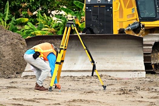
Every iconic structure begins with a single, precise measurement. Whether you are developing a residential township, planning a commercial complex, or embarking on a critical infrastructure project, the integrity of your build depends entirely on the accuracy of the ground beneath it. Our land surveying services bridge the gap between complex raw terrain and your finished architectural vision, providing the technical clarity needed to build with absolute confidence.
Our Track Record in Precision
1
Successful Handovers
1
Foundations Established
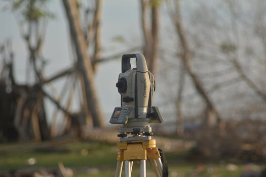
Topographical Mapping & Contour Analysis
Visualize every rise and fall of your land with detailed 2D and 3D mapping.
Boundary & Legal Property Surveys
Secure your investment with definitive property line identification and monumentation.
Construction Staking & Layout
Ensure your structure is positioned exactly where the blueprints intended.
Engineering & Infrastructure Surveys
High-accuracy data for roads, drainage, and large-scale earthworks.